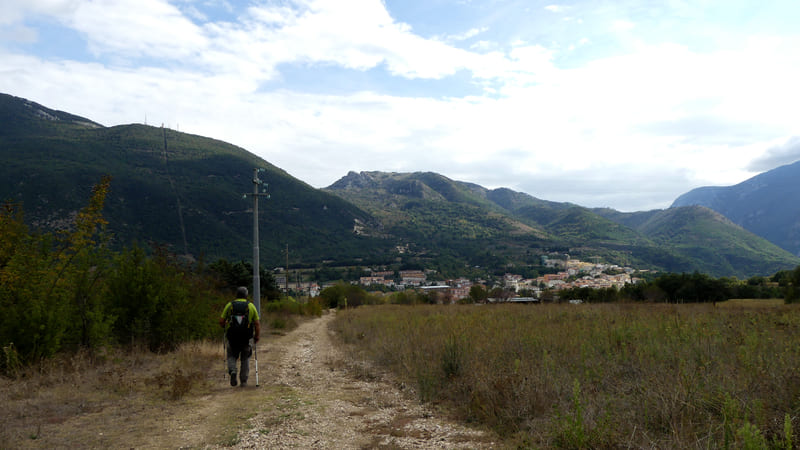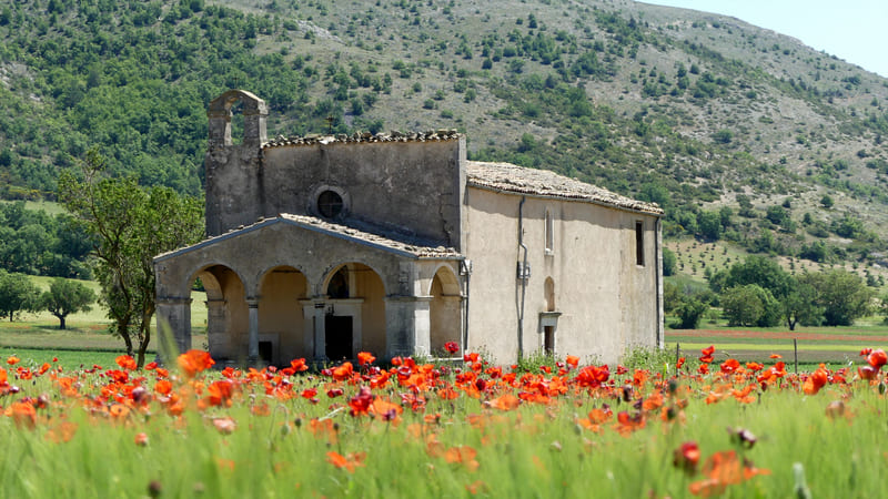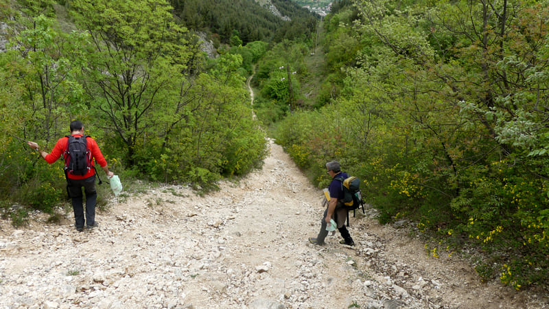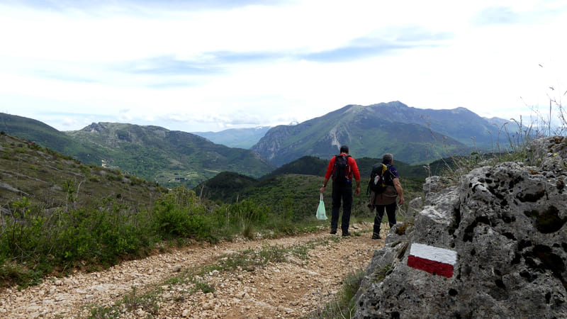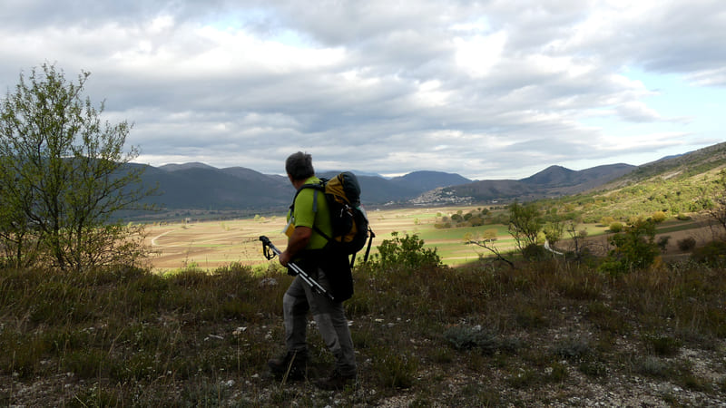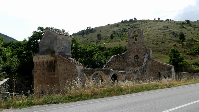
From Navelli, continue eastward flanking the small church of Madonna delle Grazie and ascend to the fortified village of Collepietro. Here, near the church of Madonna del Buonconsiglio, take the Centurelle-Montesecco Tratturo again and follow it, with very steep downhill stretches, (Take the utmost care) to the ruins of the church of Santa Maria di Cartignano, on the outskirts of Bussi sul Tirino, the end of the stage.
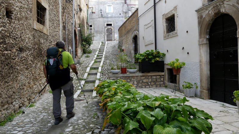
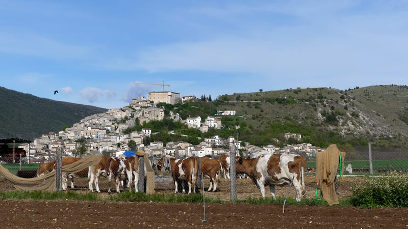
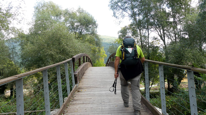
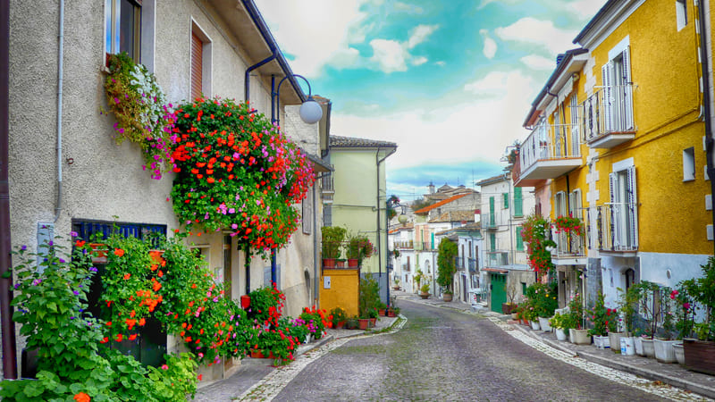
From Piazza San Pelino in Navelli, take Via del Commercio and cross the state highway using the underpass; after that, turn left onto the dirt road. At the next fork, turn right. Once you reach the small church of Madonna delle Grazie, continue left onto a narrow road—first paved and then unpaved—toward the small village of Collepietro, which is clearly visible and not far away; At the next intersection, turn right onto a less obvious country path, leaving the dirt road to your left. Further on, turn left onto the paved road that climbs uphill to the fortified village of Collepietro, which still preserves sections of medieval walls, entrance gates, and defensive towers. Once in the village, turn right at the fork and walk along the scenic overlook, which offers a beautiful view of the Navelli Plain; then turn left to enter the village via a narrow alley that climbs up to the parish church. Head downhill first along Via Garibaldi and then Via Mazzini to Piazza Sacro Cuore, where you turn right. At the top of the hill, rejoin the Tratturo Centurelle–Montesecco trail to the left of the small church of the Madonna del Buon Consiglio and continue downhill toward the cemetery; once past it, begin the steep descent to Bussi. At an intersection at the end of the first descent, turn left and proceed along a stretch that is initially flat, then descends again; on the right, look for the signs for Fonte Romana and follow the markers for the natural gas pipeline; a little further on, two sections begin that are characterized by steep slopes and slippery surfaces; extreme caution is recommended along these sections. Continue the descent to a junction on a flat area where you take the less obvious dirt road to the left; you’ll cross State Route 153 near the ruins of the medieval church of Santa Maria di Cartignano. After carefully crossing the state highway, take the road directly in front of you and then follow a pedestrian path that leads to the wooden bridge; after crossing the Tirino River, proceed to the right along a narrow path that runs alongside the river. At the intersection with the paved road, turn left and continue to the Mother Church of Santa Maria Assunta; go around the building on the right and head uphill toward the historic center of Bussi, where Stage 5 BIS ends in front of City Hall.
Fabio Setta, phone: 335 8339451
| Total Length | 12 km |
| Technical difficulty |  |
| Physical difficulty |  |
| Elevation gain | 310 m |
| Elevation loss | 650 m |
| Signposting | Yes |
| GPX track | Download |