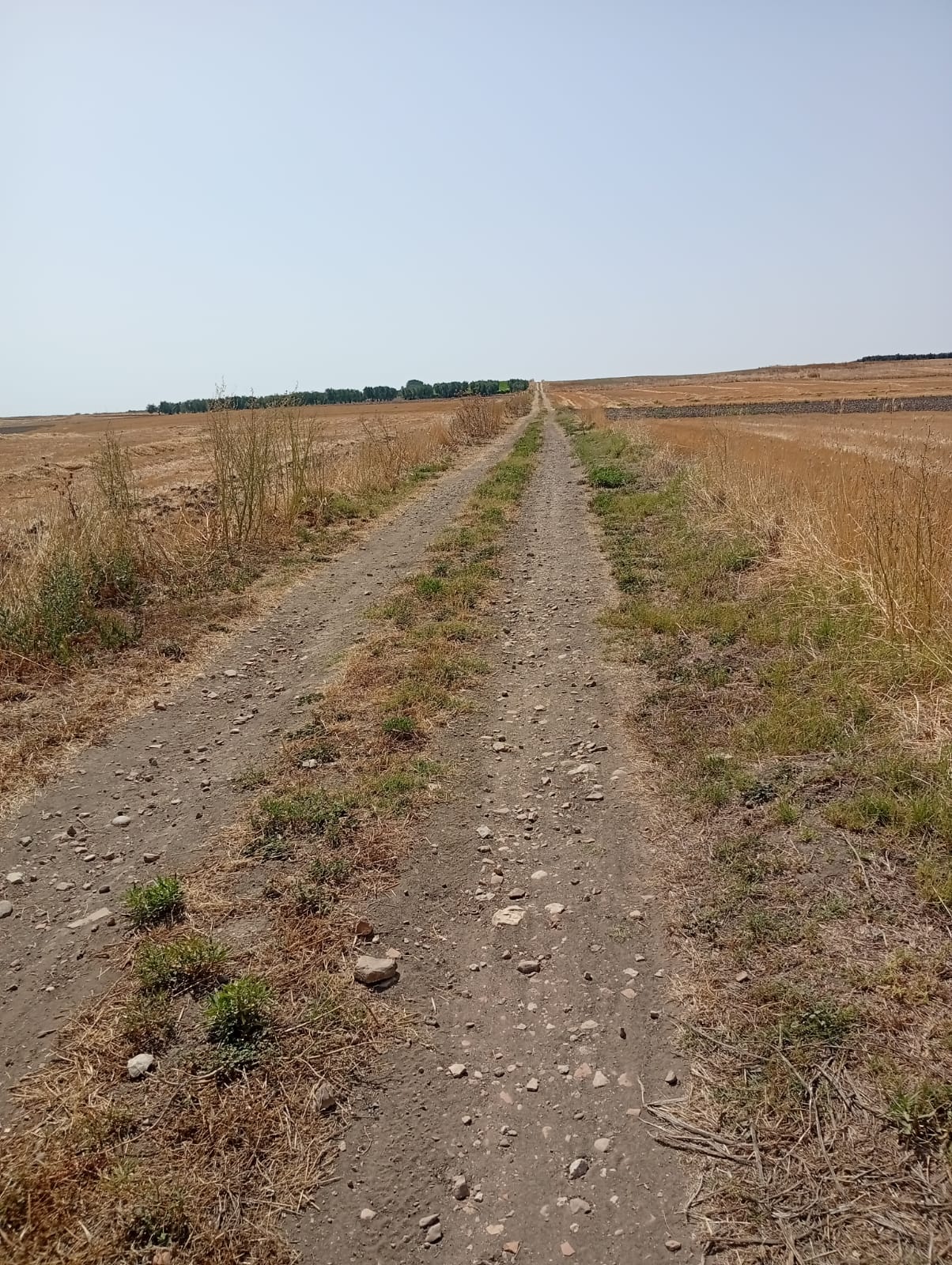
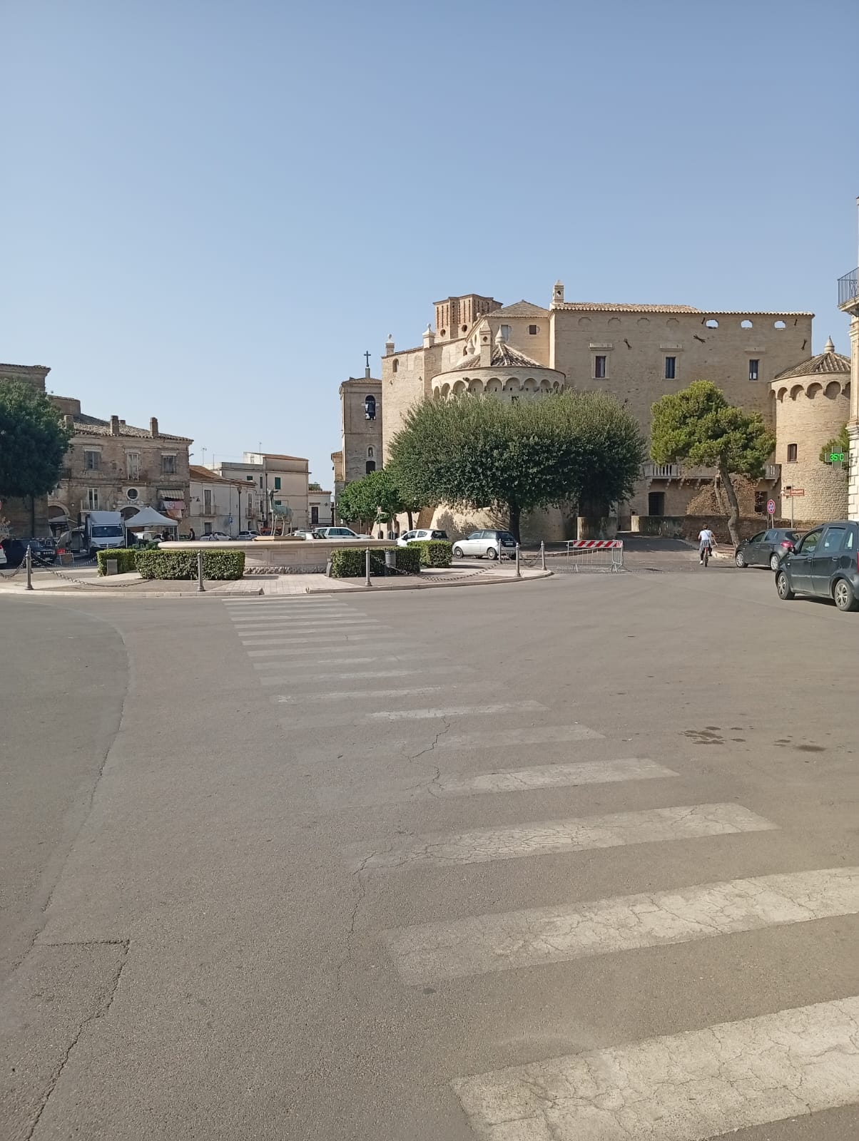
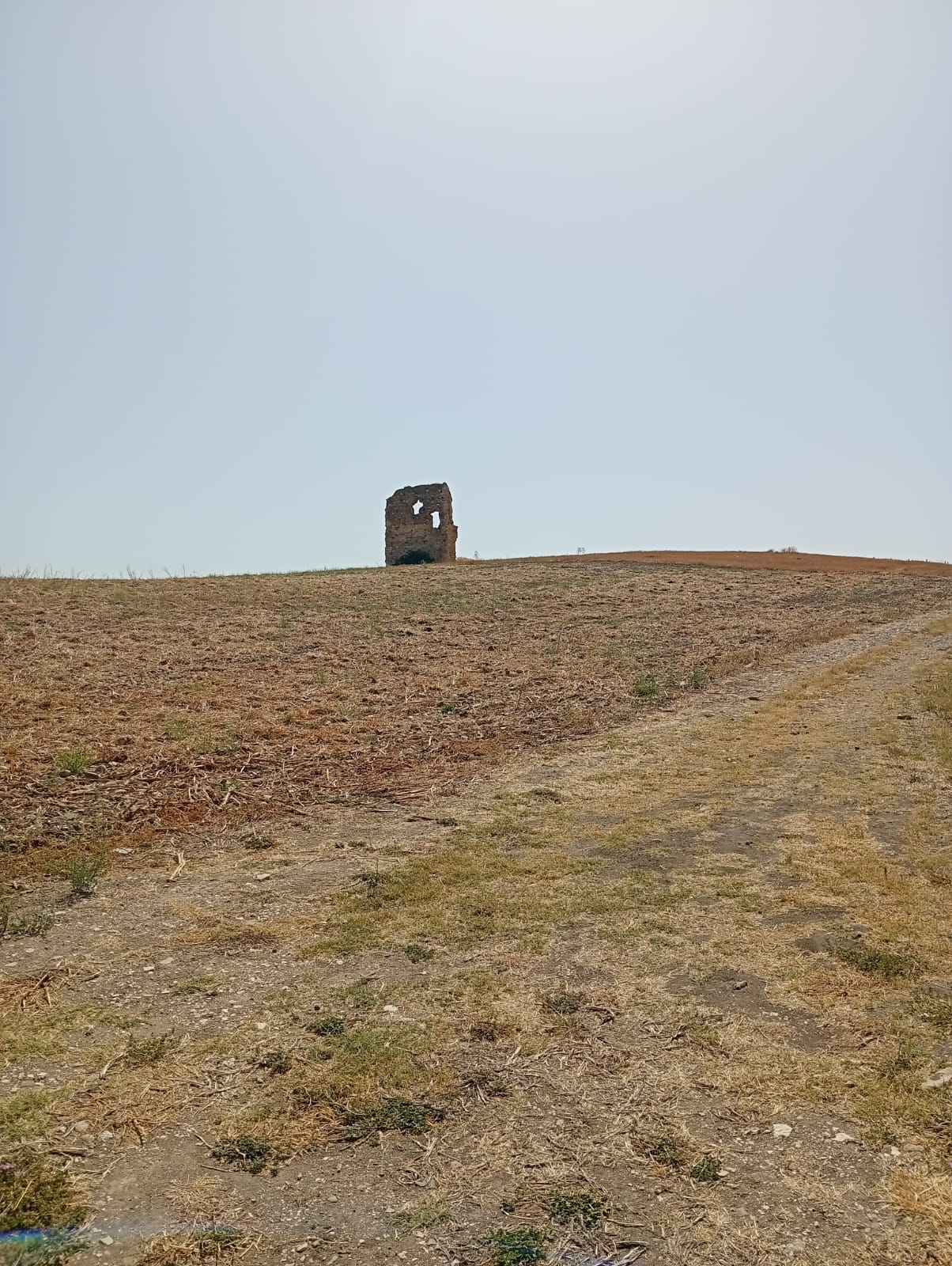
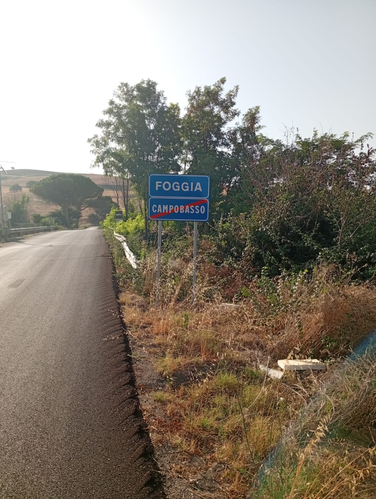
From Serracapriola, the path descends to the Fortore River, on whose right bank stood the Taverna di Civitate, a customs station where a toll was paid to cross the river; From the Taverna, a not-too-long climb leads to the plateau where San Paolo di Civitate is situated; upon leaving San Paolo di Civitate, you pass the Madonna di Belmonte sheep-trailing chapel, and at the intersection, take the road on the left, which crosses vast, flat cultivated fields and leads to the town of Apricena. After passing through the town, take the recently opened bike path until you reach the San Marco in Lamis train station, from where you join the Via Francigena and begin climbing the slope of the Gargano promontory. You’ll pass the convent-shrine of Santa Maria di Stignano and continue along State Highway 272 until you reach San Marco in Lamis, where Stage No. 08