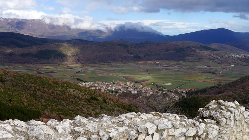
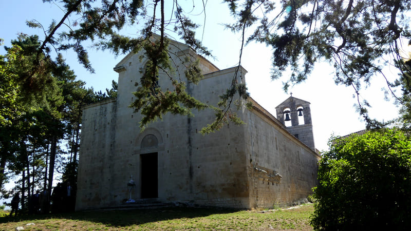
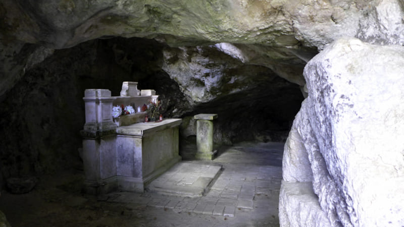
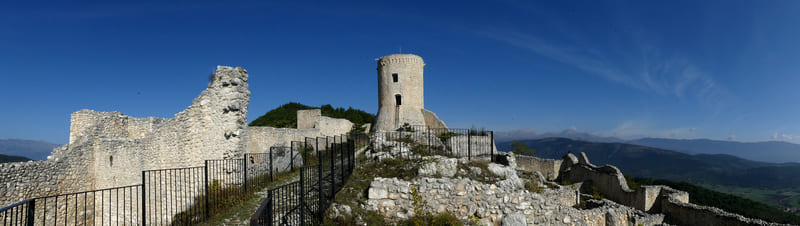
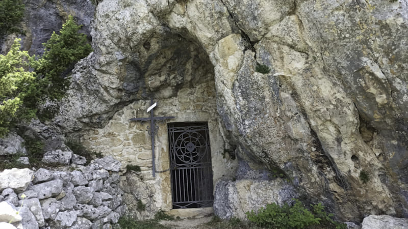
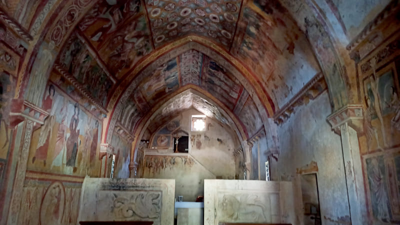
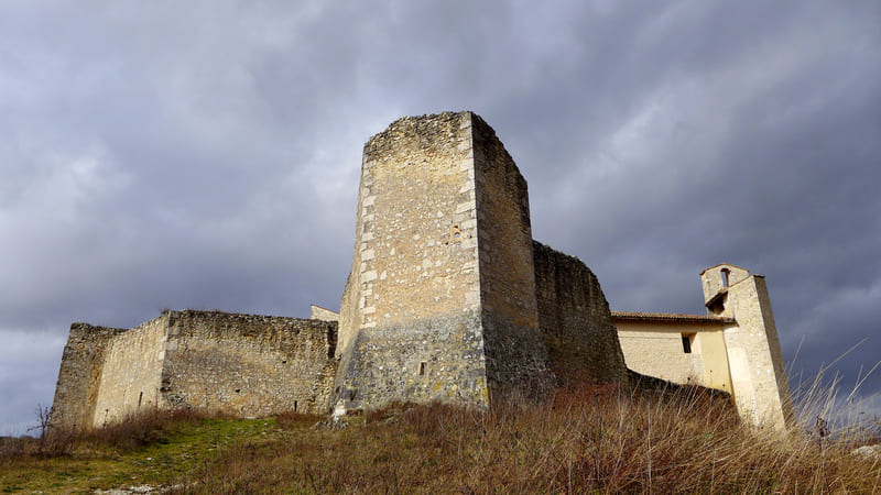
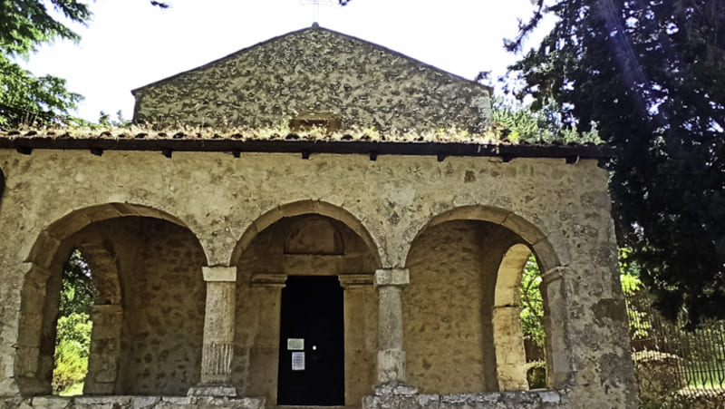
From Prata d’Ansidonia, one skirts the fortified village of Castel Camponeschi, crosses the small hamlet of Tussio and climbs the mountainous hump on which the cave of St. Michael the Archangel and the castle of Bominaco are located; from the fortress, one descends to the Benedictine complex of Bominaco, formed by the church of Santa Maria Assunta and the oratory of San Pellegrino, and proceeds, still downhill, to the village of Caporciano.
From the Church of St. Nicholas of Bari in Prata d’Ansidonia, head quickly down to the paved road, cross it, and—a few meters further upstream—take a dirt road to the right until you reach the next main road. Cross it and take the small road leading to Castel Camponeschi. From the open area in front of the castle (fountain), continue to the right on a dirt road until you reach the hamlet of Tussio, a district of Prata d’Ansidonia, which you’ll reach via a steep, uphill stretch of paved road. Pass through the entire village and then continue to the right on an uphill paved road. Just a little further uphill from the small church of the Madonna di Loreto, take a trail to the left and begin climbing through the woods until you emerge onto an open plateau at an elevation of about 1,000 meters; Once you reach a junction, descend a few dozen meters and turn right to visit the hermitage of San Michele Arcangelo; return to the junction and turn right, where the trail leads to Bominaco Castle. The trail continues downhill over rocky terrain, with sections paved with steps, leading to the Abbey of Santa Maria Assunta and the Oratory of San Pellegrino—a must-see to admire the “Sistine Chapel of Abruzzo.” To reach Caporciano from the area in front of the Oratory of San Pellegrino, take the small dirt road directly in front that leads to Tussio; after about 2 km, turn right and descend along a trail through the woods to the entrance of the village of Caporciano, where Stage 3 ends in front of the town hall.
Patrizia Fonzi, tel. 347 9172133,
; Alessandro Pernetta (mayor), tel. 340 9088247
(April–June), (September–November)
Prata d’Ansidonia